A powerful El Niño expected to develop over the next year could bring a welcome change to the snowpack of the American West, with the Sierra Nevada and the southern Rockies among the regions most likely to benefit. Forecasters now describe the coming event as one of the strongest El Niños on record for the 2026-27 season, a prospect that has drawn attention from skiers, water managers and communities that spent last winter facing some of the lowest snow totals in the region.
The driver is an unusually warm Pacific Ocean. Sea surface temperatures across the central and eastern Pacific ran roughly 2.5 degrees Celsius above average from August through October, a pattern that tends to shift storm tracks and moisture across North America. Historically, the southern United States sees wetter conditions during El Niño years, while the northern tier often turns drier and warmer. The outlook from the National Oceanic and Atmospheric Administration reflects that tilt, showing a high chance of above-normal precipitation across the southern tier from November through February.
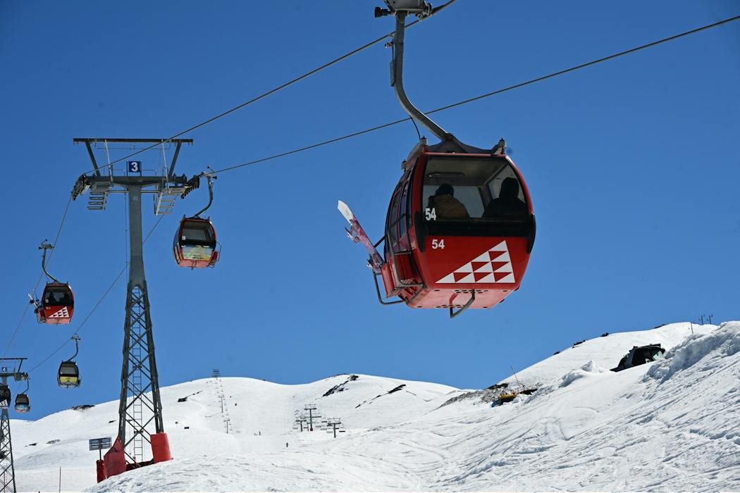
The pattern has a precedent in South America. Chile's central Andes recently experienced deep snowpack, the deepest since a drought that began in 2010, and the Valle Nevado ski resort extended its season into early December. Chile's snowy winters have historically matched heavy snow years in the Sierra Nevada and southern Rockies, which is why scientists and skiers are watching the Andes closely. Still, researchers caution that the link is not guaranteed, and it remains uncertain whether the Chilean pattern will repeat over North America this winter.
Water is the most consequential stake. Lake Powell and Lake Mead together supply about 40 million people, and Lake Powell has already risen with recent rains. Yet the same wet pattern carries risks. Flooding in the Four Corners region in October and November damaged hundreds of homes, after rapid snowmelt and rain pushed the San Juan River and the Rio Grande beyond their banks. Experts note that the balance between relief and hazard will depend on how the snow arrives, and whether it comes gradually or in sudden bursts.
Credit. Based on reporting by Steven R. Fassnacht for The Conversation Science. Is this your work? Write to us.
9