
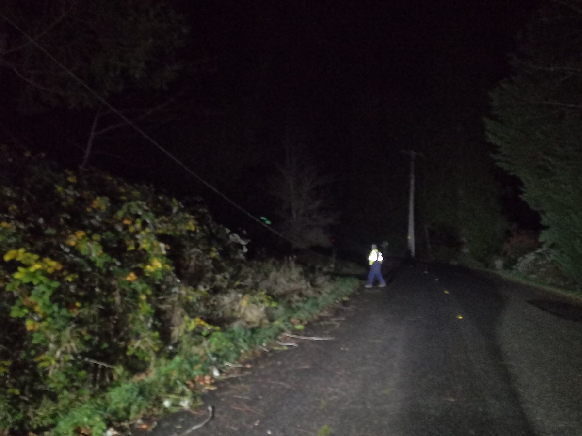
Nearly 396,000 customers across the Florida Panhandle and southern Alabama remained without power as the remnants of Hurricane Isaias pushed north, bringing heavy rain and the threat of flash flooding to a wide stretch of the southeastern United States. At least four deaths have been linked to the storm, which made landfall on Friday evening before weakening to a post-tropical cyclone.
The National Weather Service warned that moderate to heavy rainfall would continue across the central Appalachians and the mid-Atlantic region, with isolated flash flooding possible near the southern Appalachians. Strong wind gusts could bring down trees and power lines, adding to the scattered outages already reported across the region. Life-threatening surf and rip current conditions were expected to persist along the Gulf Coast and the southeastern Atlantic coast.
Isaias barreled into the US on Friday evening, ripping roofs off buildings before losing its tropical characteristics. By Sunday, what was left of the storm was moving north, its center tracking inland while its moisture spread across a broad area. The combination of saturated ground and gusty winds raised concerns that additional outages could occur even as utility crews worked to restore service in the hardest-hit areas.
The power outages stretched from the Florida Panhandle into southern Alabama, where hundreds of thousands of households were left in the dark. Utility companies have not provided a timeline for full restoration, and the ongoing rainfall could slow repair efforts. Emergency officials urged residents to avoid downed lines and to treat intersections with traffic signals that are not working as four-way stops.
Flash flood warnings and watches remained in effect for parts of the Southeast, with forecasters cautioning that streams and creeks could rise quickly. The risk of flooding was expected to shift northward through the day, affecting communities in the mid-Atlantic and central Appalachians that are already dealing with saturated soils from earlier summer rains. The National Weather Service noted that even modest additional rainfall could trigger localized flooding in areas with steep terrain.
Along the coast, the storm continued to generate dangerous surf and strong rip currents. Beachgoers were advised to stay out of the water, as the risk of life-threatening conditions was expected to last through the weekend and into early next week. The combination of high surf and coastal flooding could cause additional erosion in some areas.
The four deaths linked to the storm have not been fully detailed by authorities, but they underscore the dangers posed by Isaias even after it was downgraded. The storm's impacts have been felt across a wide region, from the Gulf Coast to the Appalachian Mountains, and officials warned that the threat is not over.
As the system moves north, the focus will shift to the mid-Atlantic and northeastern states, where heavy rain and gusty winds are possible. Forecasters said the storm's remnants could still produce localized flooding and power outages as they interact with other weather systems. Residents in the path are being urged to monitor local forecasts and be prepared for changing conditions.
The scale of the outages — nearly 400,000 customers — reflects the storm's broad wind field and the vulnerability of power infrastructure in the region. Restoration efforts will depend on the weather, and additional outages could occur if winds pick up again. For now, hundreds of thousands of people are facing the possibility of days without electricity as the storm's remnants continue to move across the eastern United States.
12