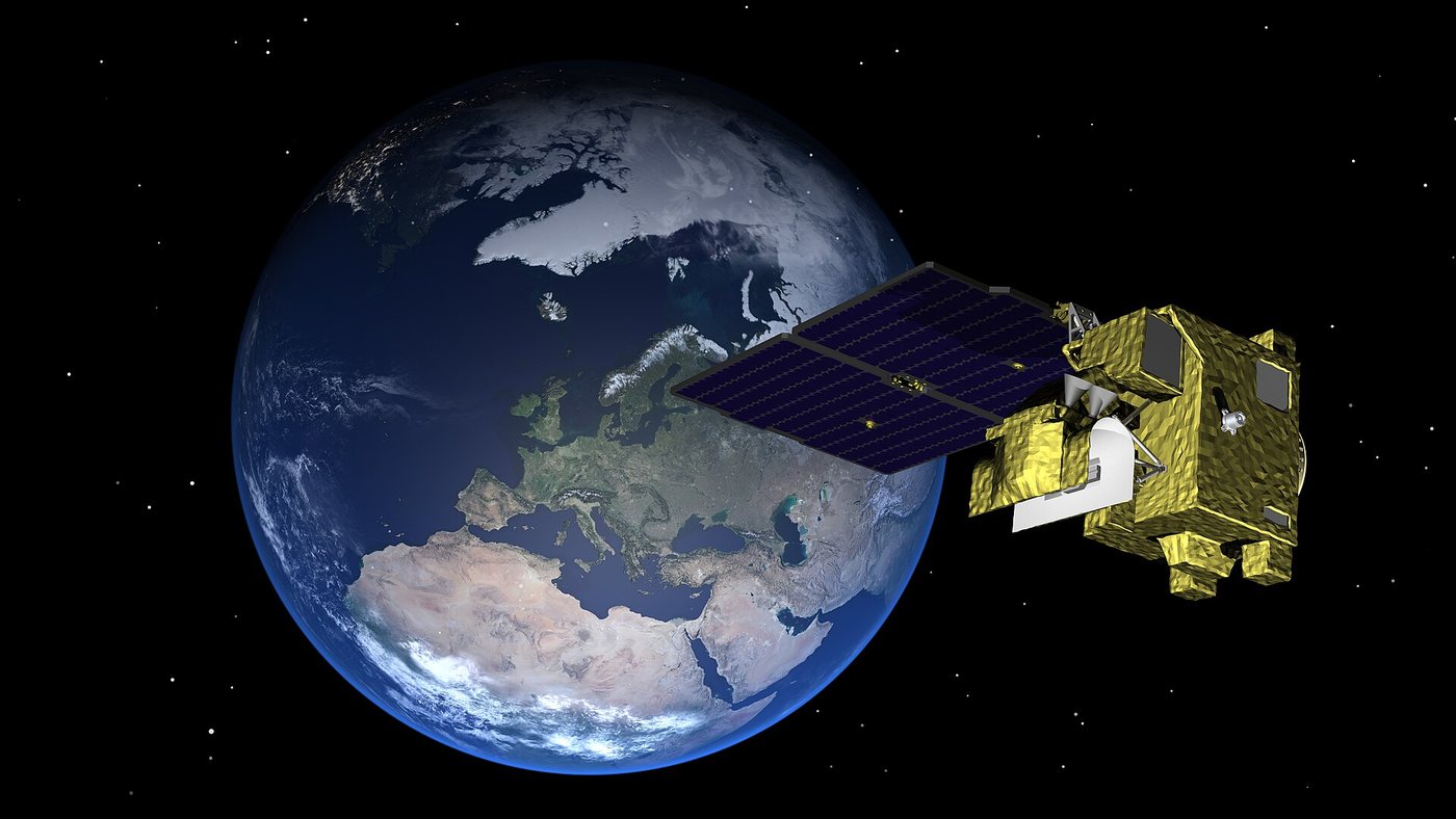
Researchers in China have developed the first systematic precipitation retrieval algorithm for the Fengyun-3G (FY-3G) satellite, a method that turns passive microwave observations into an operational product describing surface rainfall and vertical hydrometeor profiles. The approach produces estimates that agree well with established Global Precipitation Monitoring (GPM) products while representing cloud liquid water more realistically.
Accurate precipitation measurements are essential for weather forecasting, climate research, water management and disaster preparedness, yet rainfall remains one of the largest sources of uncertainty in environmental models. Passive microwave satellites can monitor precipitation over oceans, mountains and areas poorly covered by ground instruments, and they offer wider coverage than radar. FY-3G carries the advanced MWRI-RM radiometer, which has 26 channels spanning 10.65 to 183 GHz, but until now those observations lacked a dedicated algorithm for comprehensive operational retrieval.
The work was carried out by researchers from the University of Science and Technology of China, the National Satellite Meteorological Center, the Meteorological Observation Centre of the China Meteorological Administration and collaborating institutions. The study was published on August 11, 2026, in the Journal of Remote Sensing. Its authors say no earlier method had fully exploited the satellite's channels to generate an operational precipitation product, and the framework they describe retrieves both surface precipitation and the vertical structure of hydrometeors.
The resulting multiple-hydrometeor profile (MHP) product was compared with two established GPM products, the Goddard profiling algorithm (GPROF) and the combined radar-radiometer algorithm (CMB). The three agreed well in surface precipitation rate and in the patterns of rainwater path and ice water path. Surface precipitation estimates generally showed relative mean biases within 14 percent over both ocean and land.
A notable advantage emerged for cloud liquid water. The MHP product showed a markedly stronger relationship between cloud liquid water path and precipitation intensity than either comparison product, which the researchers interpret as a more physically realistic link between clouds and rain. The method also retrieves vertical profiles of cloud liquid water, rainwater and ice water, offering more information on storm microphysics than rainfall-only products provide.
In calibration tests, simulated and observed MWRI-RM brightness temperatures showed strong agreement. Under clear skies, Pearson correlations exceeded 0.94 across all channels, mean biases stayed within plus or minus 0.4 kelvin, and root mean square errors were below 2.5 kelvin over land and 2.0 kelvin for most ocean channels. In a typhoon case, all three products captured the eyewall and three spiral rainbands. The MHP product reached a spatial correlation of 0.84 between cloud liquid water and rainfall, compared with 0.72 for GPROF and 0.52 for CMB. In a land rainfall case, the correlations were 0.84, 0.76 and 0.47 respectively.
Validation against 2,486 rain gauges found that extending the accumulation window from 10 to 60 minutes raised the correlation from 0.455 to 0.542 and reduced the root mean square error from 1.743 to 1.341 millimeters per hour. Remaining biases reflected underestimation of heavy rain and uncertainties tied to surface type and ice-particle assumptions. Oceanic rainwater path was underestimated by 27 percent relative to GPROF and by 19 percent relative to CMB.
The authors write that the MHP product “exhibits good consistency with GPROF and CMB,” and add that its precipitation-related variables can reveal storm microphysics and support improved model parameterization. The team also sees potential for extending the retrieval framework to other Fengyun microwave imagers and future satellite missions.
The retrieval rests on a Bayesian method built around a prior database that links hydrometeor profiles and atmospheric states with microwave brightness temperatures. The researchers combined GMI observations, GPROF profiles, ERA5 atmospheric variables and radiative-transfer calculations, and applied a one-dimensional variational method to adjust cloud liquid water, rainwater, ice water and surface emissivity for physical consistency. Separate retrievals were run for ocean, coastal, low-elevation land and high-elevation regions.
The prototype could strengthen precipitation monitoring over China and globally, particularly where ground networks are sparse. Because it retrieves rainfall together with cloud and frozen-water structure, the authors say it may support typhoon and flood monitoring, cloud-precipitation research and climate-model evaluation. They propose transferring the prior database and retrieval architecture to microwave imagers on other FY-3 satellites. Further refinement of heavy-rain representation, high-elevation retrievals and ice-particle models could improve accuracy and broaden operational use.
Source: thesfnewsjournal.com
22