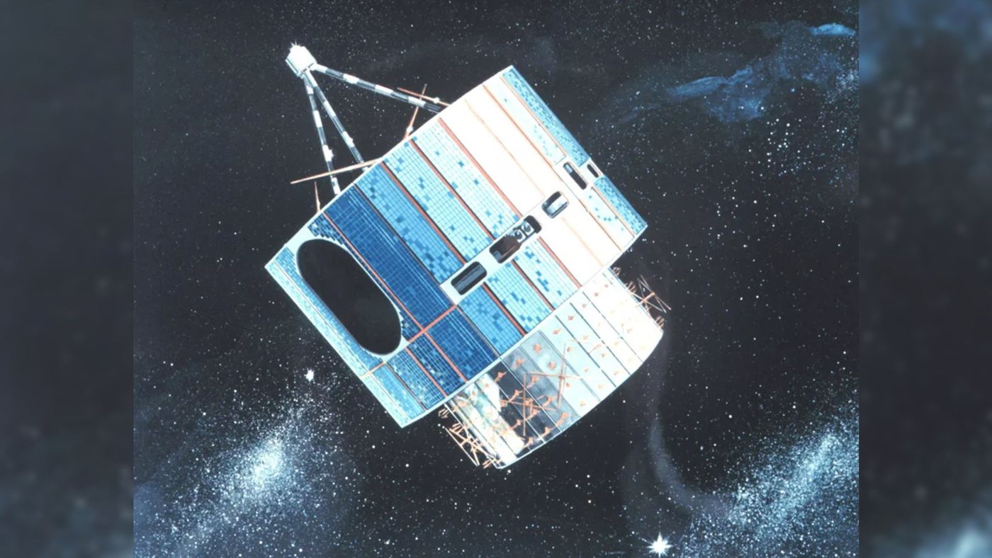
NASA launched the first satellite in its Geostationary Operational Environmental Satellite program on Oct. 16, 1975, opening a new era in weather observation from space. The spacecraft, later designated GOES-1, lifted off from Cape Canaveral and was placed in a geostationary orbit, where it matched Earth's rotation and appeared to hover over a fixed point on the globe.
That vantage point was the mission's defining feature. Unlike earlier polar-orbiting weather satellites, which passed over the planet in sweeping arcs and returned only intermittent views, a geostationary satellite could stare continuously at the same hemisphere. GOES-1 gave forecasters a steady stream of images of cloud cover, storm systems, and atmospheric conditions across North America and the surrounding oceans.
The satellite carried instruments designed to observe Earth in visible and infrared light. The infrared capability was especially important because it allowed the spacecraft to measure cloud-top temperatures day and night, helping meteorologists distinguish towering storm clouds from lower, less threatening layers. The combination of visible and infrared imagery became a foundation for satellite-based weather analysis.
GOES-1 was the product of a partnership between NASA, which built and launched the spacecraft, and the National Oceanic and Atmospheric Administration, which operated the satellite and used its data for forecasting. That division of labor has persisted through decades of subsequent GOES missions, with NASA handling development and launch and NOAA managing the operational fleet.
The first GOES satellite was relatively modest by modern standards, but its arrival marked a turning point in how the United States watched the atmosphere. Continuous coverage from geostationary orbit made it possible to track the movement of weather systems over time, spot developing storms, and monitor conditions over the vast stretches of ocean where ground-based observations were sparse.
The GOES program has since grown into a long-running series of increasingly capable satellites. Later generations added improved imaging instruments, atmospheric sounders, and the ability to monitor space weather, including solar activity that can disrupt communications and power grids on Earth. The spacecraft have become central to forecasting severe weather, tracking hurricanes, and studying the planet's climate.
The launch five decades ago also illustrated a broader shift in Earth observation. Satellites moved from experimental tools to essential infrastructure, supplying the data that underpin daily weather forecasts, aviation planning, and disaster response. GOES-1 was an early step in that transition, demonstrating that a satellite parked above a fixed point could deliver the kind of persistent, wide-area view that forecasters needed.
Half a century later, the anniversary serves as a reminder of how quickly space technology became embedded in ordinary life. The images and measurements that began with GOES-1 now feed the forecasts that people check each morning, and the program's successors continue to watch the same hemisphere from the same kind of orbit.
11