A 253-year-old coral core from the Olowalu reef off Maui has given scientists their first long-term record of how land use on the island shaped the health of the nearshore ocean, according to research published in the September issue of the journal Coral Reefs. The study found that the reef's growth, or lack of it, closely mirrored what was happening on land between 1760 and 2013 — a span covering the precolonial era, the rise and fall of the sugar-plantation economy, and Maui's development as a tourist destination.
The U.S. Geological Survey collected the six-foot-long core in 2013 and conducted some initial analysis, but in-depth research did not begin until Sam Kekuewa, a chemical oceanographer with a doctorate from Scripps Institution of Oceanography, arrived in 2024. Kekuewa, who leads the research team through the Hawaii Sea Grant College Program, assembled a group that included scientists from the University of Hawaiʻi at Manoa's School of Ocean and Earth Science and Technology and the USGS. The agency describes the findings as the first long-term baseline for understanding ridge-to-reef connectivity on Maui.
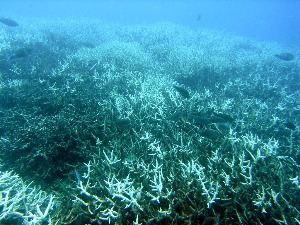
The team analyzed chemical signatures in the coral's skeleton, measuring 18 trace elements and comparing them with historical land-use records. Between the 18th and late 20th centuries, the ratios of barium-to-calcium, phosphorus-to-calcium and iron-to-calcium rose by 17% to 55%, with the largest increases occurring in the mid-1900s when sugarcane plantations were operating at full scale. By measuring the density of the coral and its annual growth, the scientists calculated calcification rates — a key indicator of reef health — and pinpointed for the first time that the reef's growth rate began a steep decline in the late 1960s as the plantation economy boomed.
«There's been several studies showing a connection between historical sugarcane production and poor water quality,» said Andrea Kealoha, a study co-author and assistant professor of oceanography at UH Manoa. «But nobody has been able to connect that to the decline of reef health.» Maui's plantations required vast amounts of water and fertilizer and reshaped the landscape through land privatization, removal of native plants, industrial-scale monoculture and a water-diversion ditch system. Sediment and nutrient runoff from those practices can reduce sunlight in seawater, bury coral or abrade it.
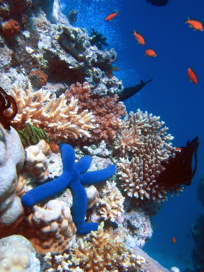
The findings carry weight because Olowalu is widely regarded as a super reef and a mother reef, spanning nearly 1,000 acres about a 10-minute drive from Lahaina. It releases large quantities of coral larvae that currents carry to Molokaʻi and Lānaʻi to build reefs there, and it has been designated a Mission Blue Hope Spot for its importance to ocean health. Healthy reefs protect coastal communities from destructive waves, provide nursery habitat for fish sought by anglers and snorkelers, and hold cultural and spiritual significance for local residents.
Kekuewa said the timing of the research matters given climate change, the 2023 Lahaina wildfire, increasingly frequent fires and a series of hurricanes and tropical storms that made landfall in Hawaiʻi this year. Severe storms driven by climate change are expected to produce more runoff and sedimentation that can suffocate the reef. Future fires, new subdivisions and coastal roadways such as the Honoapiʻilani Highway, which is buckling under chronic erosion, storm surges and king tides, can also affect coral health. By revealing how past land-use decisions reached the sea, the study offers land managers a roadmap for ridge-to-shore decisions — a window into the past that may help guide the reef's future.
27