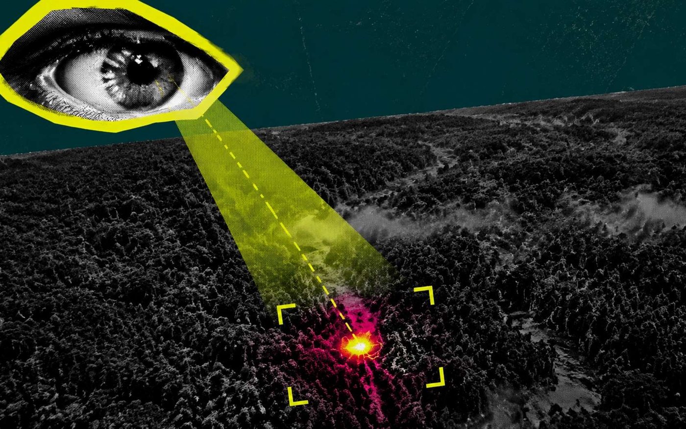
A satellite launched as the first in a dedicated constellation has detected a wildfire measuring only five meters across from space, marking a significant step in efforts to accelerate early warning systems for blazes that increasingly threaten forests and communities worldwide. The technology, developed to spot fires at their smallest stages, could dramatically reduce the time between ignition and response, potentially saving lives and limiting environmental damage.
The detection was achieved by a satellite equipped with advanced infrared sensors capable of identifying heat signatures from small flames against the Earth's background. Traditional satellite monitoring often relies on lower-resolution imagery that may miss fires until they have grown substantially, sometimes covering hectares before being spotted. The new system aims to close that gap by providing near-real-time alerts to firefighting agencies, enabling quicker deployment of resources.
Wildfires have become more frequent and intense in recent years, driven by climate change, drought, and land-use changes. In 2023, Canada experienced its worst fire season on record, with millions of hectares burned and smoke plumes reaching across the Atlantic. The United States has also seen devastating fires in California, Oregon, and other western states, while Mediterranean countries including France, Greece, and Portugal face recurring summer blazes that destroy homes and ecosystems. The satellite's developers hope that earlier detection will help contain fires before they escalate into large-scale disasters.
The satellite is the first of a planned constellation that will eventually provide continuous global coverage. Each satellite in the network is designed to scan large areas of the Earth's surface repeatedly throughout the day, increasing the chances of catching a fire in its initial minutes. The system uses machine learning algorithms to distinguish between natural heat sources, such as industrial sites or volcanic activity, and genuine wildfire ignitions, reducing false alarms that could overwhelm emergency services.
Firefighting agencies have long sought better tools for early detection. Ground-based watchtowers and aerial patrols are effective but limited by terrain, weather, and cost. Drones offer flexibility but have restricted range and endurance. Satellites, by contrast, can monitor vast and remote regions where human observation is impractical. The new constellation aims to complement existing systems rather than replace them, providing a space-based layer of surveillance that feeds into national and regional fire management networks.
The five-meter fire detection demonstrates the sensor's sensitivity. Most current weather and Earth-observation satellites have spatial resolutions measured in tens or hundreds of meters, meaning a fire must cover a significant area before it registers as a distinct hot spot. The new satellite's ability to identify a flame just a few meters across represents a leap in capability, though developers caution that operational performance will depend on factors such as cloud cover, atmospheric conditions, and the fire's intensity.
Climate projections indicate that wildfire risk will increase in many parts of the world as temperatures rise and precipitation patterns shift. Longer fire seasons and more extreme fire weather are expected in boreal forests, tropical savannas, and temperate woodlands alike. Early detection is only one component of effective fire management, which also requires adequate funding for prevention, fuel reduction, and community preparedness. However, faster alerts can give firefighters a critical advantage, especially in remote areas where travel times are long.
The satellite's launch is part of a broader trend toward using small, relatively inexpensive satellites for environmental monitoring. Advances in miniaturization and sensor technology have made it possible to deploy constellations that were once the domain of government space agencies. Private companies and research institutions are now developing specialized missions for everything from tracking methane leaks to monitoring crop health. Wildfire detection has emerged as a priority application, given the growing economic and human toll of uncontrolled fires.
In addition to detecting fires, the satellite constellation is expected to provide data on fire behavior, including spread rates and intensity, which can improve models used to predict fire paths and inform evacuation orders. The same sensors may also be used to map burn scars and assess post-fire damage, aiding recovery efforts. The developers plan to make the data available to fire management agencies and researchers, though commercial arrangements have not been fully detailed.
The successful detection of a five-meter fire from orbit validates the sensor design and data processing pipeline. Further tests will refine the system's accuracy and reliability before the full constellation is deployed. If the technology proves operational, it could become a standard tool for fire agencies worldwide, helping to shift the paradigm from reactive firefighting to proactive early intervention.
107