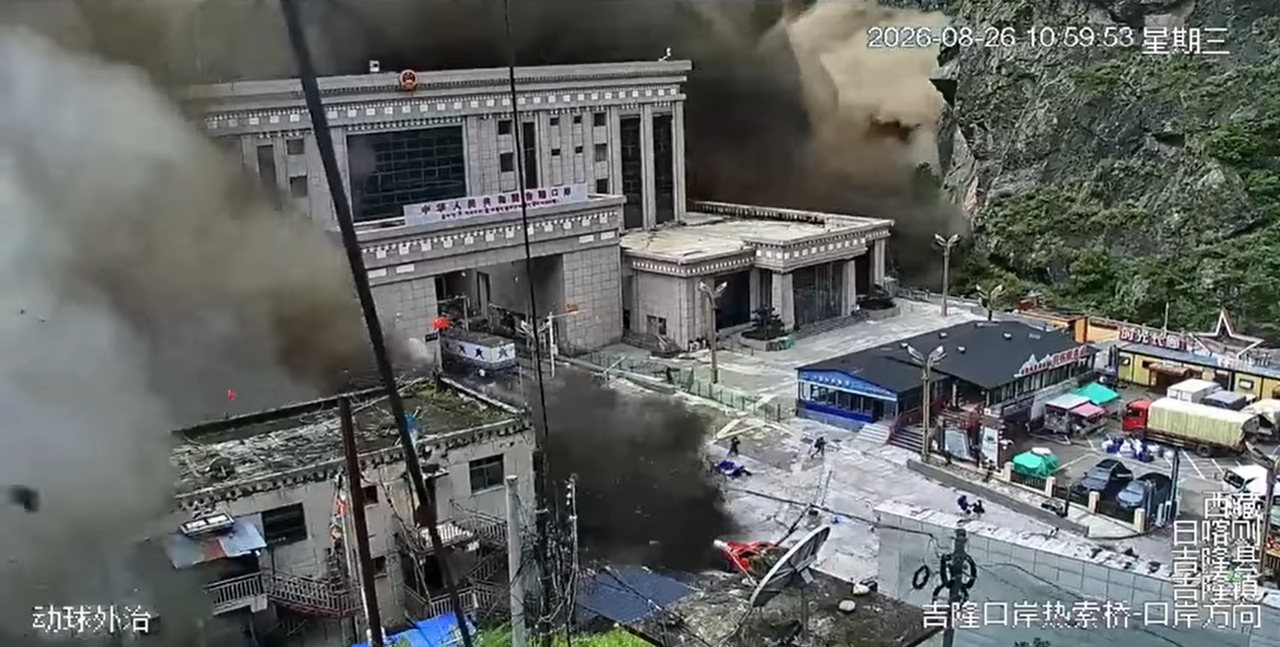
An international collaboration of scientists has identified the trigger of the devastating flood that struck Tibet and Nepal as a massive landslide, overturning initial assumptions that a glacial collapse was responsible. The finding, which emerged from a global pooling of satellite data, field observations, and modeling, clarifies the sequence of events behind one of the region's deadliest recent natural disasters.
The flood, which tore through valleys and destroyed infrastructure, homes, and farmland, had initially been attributed to a glacial lake outburst. However, the new analysis shows that a large landslide plunged into a glacial lake, displacing a colossal volume of water and sending a surge downstream. This distinction matters because landslide-triggered floods follow different warning signs and require different risk assessments than those caused by glacial melting alone.
Researchers from multiple countries combined high-resolution satellite imagery with on-the-ground surveys to reconstruct the disaster timeline. The images captured the landslide scar on the valley wall, the displaced water body, and the downstream path of destruction. By cross-referencing these observations with seismic records and hydrological models, the team established that the landslide struck first, generating a wave that overtopped or breached the natural dam holding the lake.
The cooperative nature of the investigation proved essential. No single country had complete coverage of the remote, high-altitude terrain, but together the scientists assembled a full picture. The collaboration included geologists, glaciologists, hydrologists, and remote-sensing specialists, each contributing a piece of the puzzle. This joint effort underscores the growing importance of international scientific cooperation in studying hazards in the Hindu Kush-Himalaya region, where monitoring infrastructure is sparse and conditions are extreme.
The findings have immediate implications for disaster preparedness. Glacial lake outburst floods are a well-known risk in the region as temperatures rise and glaciers retreat, but landslide-triggered events add a layer of complexity. A landslide can strike without the gradual warning signs of glacial melt, such as rising lake levels or cracking ice. The new research suggests that hazard maps and early-warning systems must account for slope instability above lakes, not just the lakes themselves.
The study also highlights the value of rapid, open data sharing during disasters. Within days of the flood, satellite operators and research institutions released imagery and seismic data that allowed scientists to begin their analysis while the event was still fresh. This speed is critical for understanding the mechanics of such events and for advising authorities on secondary risks, such as the potential for further landslides or dam instability in the aftermath.
While the immediate crisis has passed, the scientific work continues. The team is now examining whether the landslide was linked to recent seismic activity, heavy rainfall, or long-term slope weakening from permafrost thaw. Each of these factors is influenced by a changing climate, raising questions about whether similar events will become more frequent in the coming decades.
For the communities in Tibet and Nepal, the research offers both an explanation and a warning. Understanding that a landslide caused the flood does not reduce the devastation, but it does provide a clearer basis for rebuilding and for preparing for the next disaster. The international response, from data sharing to field expeditions, demonstrates how science can operate across borders to address shared risks in a region where mountains do not respect national boundaries.
160