An international team of archaeologists has created a high-resolution map of the vast lower city of Nimrud, the ancient Assyrian capital in northern Iraq, shedding new light on the daily lives of the merchants, artisans, and other non-elite residents who made up the bulk of the city's population.
Led by Daniele Morandi Bonacossi and Francesca Simi of the University of Udine in Italy, the Nimrud Lower Town Archaeological Project focused on the more than 800 acres surrounding the city's acropolis mound. This area, once protected by nearly five miles of defensive walls, was home to most of the city's inhabitants during the height of the Assyrian Empire.
The research team began by examining declassified satellite images, which surprisingly revealed that the layout of the lower city was exceptionally well preserved, showing the outlines of walls, gates, streets, and residential districts. Building on this initial data, the researchers employed a differential global positioning system and a drone to generate a detailed digital terrain model of the entire area.
A systematic walking survey was then conducted to collect and map visible pottery fragments across the whole city, allowing the team to trace the distribution of settlements from the third millennium B.C. through the Islamic period. The final phase involved a geophysical survey in several key areas of the lower city, which confirmed the presence of streets, neighborhoods, large building complexes, walls, kilns, and pits beneath the surface.
The findings, published in the journal Antiquity, represent a significant step forward in understanding the urban structure of one of the most important cities of the ancient world. While the acropolis of Nimrud, with its grand palaces and temples, has been the focus of archaeological attention for over a century and a half, the lower city has remained largely unexplored.
Nimrud served as the capital of the Assyrian Empire during the reign of Ashurnasirpal II in the ninth century B.C. and remained a major political and ceremonial center for centuries. The city was destroyed in 612 B.C. by a coalition of Babylonians, Medes, and others, an event that marked the fall of the Assyrian Empire.
The new map provides an unprecedented view of how the city's non-elite population lived, worked, and organized their urban space. The identification of kilns and large building complexes suggests areas dedicated to craft production, while the layout of streets and neighborhoods offers clues about social organization and daily movement within the city walls.
The research team plans to conduct additional geophysical surveys across the ancient city and to verify their findings through targeted excavations. These future digs will be crucial for confirming the interpretations drawn from the surface and subsurface data and for recovering artifacts that can illuminate the material culture of Nimrud's lower city inhabitants.
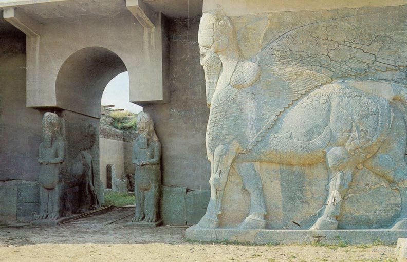
This work comes at a critical time for the preservation of Nimrud's heritage. The site suffered extensive damage at the hands of the Islamic State group between 2014 and 2017, which destroyed several of its most famous monuments, including the temples of Nabu and Ishtar. The systematic documentation of the lower city is therefore not only a scientific endeavor but also an important part of the broader effort to record and understand the site before further loss occurs.
85