NASA scientists are warning that the El Niño developing in 2026 could become as powerful as the event of 1997-98, one of the strongest on record and one linked to severe weather extremes across the globe. Satellite observations show the current pattern bears strong similarities to that earlier episode, prompting the agency to flag the possibility of a major climate disruption.
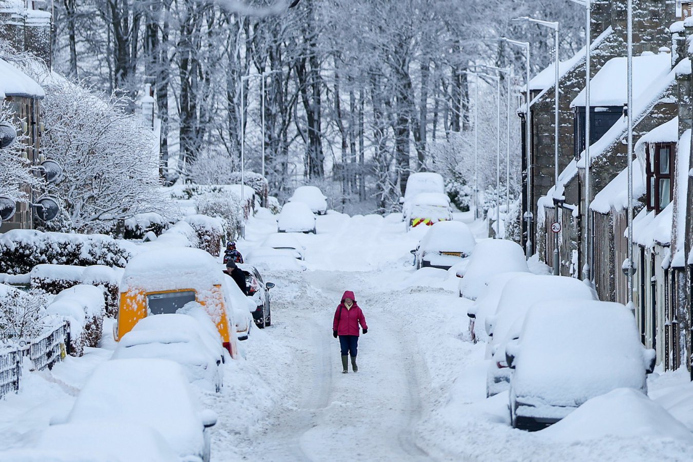
For the United States, the typical El Niño winter brings wetter conditions to the southern part of the country and drier, milder weather to the north. This season, forecasters say heavier winter rain and the risk of flooding are possible. Researchers caution, however, that the precise scale of these effects is still unclear, and that the way El Niño influences snowfall across North America is complex and not easily predicted.
The outlook comes alongside a separate development in the atmosphere high above the Arctic. The polar vortex, a band of powerful winds that normally keeps frigid air confined near the pole, has weakened unusually. Some scientists suspect El Niño may be involved, and a weakened vortex can allow cold air to spill southward, potentially bringing bitter weather to Europe. However, a direct link between El Niño and the breakdown of the vortex has not been confirmed.
Taken together, the findings underline how a single Pacific climate pattern can ripple through weather systems on several continents. Scientists say further observations over the coming months will be needed to determine how strong the event becomes and how far its effects reach.
Credit. Based on reporting for ScienceDaily. Is this your work? Write to us.
27